研究主线
我的研究把城市感知视为治理信息:从居民实际经过的路线和日常服务接触出发, 将街景环境、步行体验、服务机会与人口需求转化为街段级证据,用于识别空间不平等、 服务短板和治理优先区域。相关工作也延伸至灾后城市重建、数字协同与社区参与, 关注数据如何支持城市韧性、应急准备与公共政策。

Urban Governance · Urban Perception · Resilience & Public Policy
博士候选人,研究城市环境如何通过感知与行为影响公共服务可达性、社区体验与治理决策。 综合运用街景图像、计算机视觉、GIS 与空间网络分析,构建可解释的城市证据, 为城市治理、韧性与应急管理及公共政策评估提供支持。
PhD candidate studying how urban environments shape perception, behaviour, service accessibility, and governance outcomes. The research combines street-view imagery, computer vision, GIS, and spatial networks to produce interpretable evidence for urban governance, resilience and emergency management, and public policy.
Research Focus
我的研究把城市感知视为治理信息:从居民实际经过的路线和日常服务接触出发, 将街景环境、步行体验、服务机会与人口需求转化为街段级证据,用于识别空间不平等、 服务短板和治理优先区域。相关工作也延伸至灾后城市重建、数字协同与社区参与, 关注数据如何支持城市韧性、应急准备与公共政策。
The research treats urban perception as governance evidence. It starts from the routes residents actually use and links streetscape conditions, walking experience, service opportunity, and population demand at street-segment scale to identify spatial inequality, service gaps, and priority areas. Related work extends to post-disaster recovery, digital coordination, community participation, and public policy.
Selected Research Figures
Selected figures show how street-level perception, service opportunity, and population demand can be translated into evidence for spatial equity and public decisions.
Framework
The framework connects everyday destinations, street-view sampling, perceptual conditions, service opportunity, and population demand for policy-relevant diagnosis.
Selected Work
2025 · PhD research
构建 PWI 方法,将街景体验、15 分钟服务机会与人口需求联系起来,为识别治理短板提供街段级证据。
Links streetscape experience, 15-minute service opportunity, and population demand to diagnose governance gaps at street-segment scale.
2025 · Loughborough in Motion / Town Observatory
参与地方城市数据平台与交互式可视化研究,支持社区反馈、跨部门协作与循证决策。
Contributes to local urban data platforms and interactive visualization for community feedback, cross-sector coordination, and evidence-based decisions.
2023 · UKRI international collaboration
支持 AI、BIM、3D 打印与微型交通研究成果的数据整合和跨国协作,服务灾后恢复与韧性决策。
Integrated evidence across AI, BIM, 3D printing, and micro-mobility teams to support international collaboration and recovery decisions.
2024 · UKRI Branching Out
使用 GIS 与交互原型支持城市林地规划,探索 AI 生成内容在社区参与和环境决策中的作用。
Used GIS and interaction prototyping to support treescape planning and AI-mediated participation in environmental decisions.
Education & Experience
2022.10 - 2026.09 Est. · Loughborough University
2022.10 - 2026.09 Est. · Loughborough University
2020.10 - 2021.12 · University College London
2020.10 - 2021.12 · University College London
2016.09 - 2020.07 · 浙江工商大学
2016.09 - 2020.07 · Zhejiang Gongshang University
2023.04 - 2023.10 · 英国拉夫堡
2023.04 - 2023.10 · Loughborough, UK
2022.02 - 2022.08 · 中国上海
2022.02 - 2022.08 · Shanghai, China
Project Activity
Selected moments from public-facing research, workshop facilitation, teaching, and interdisciplinary resilience projects.
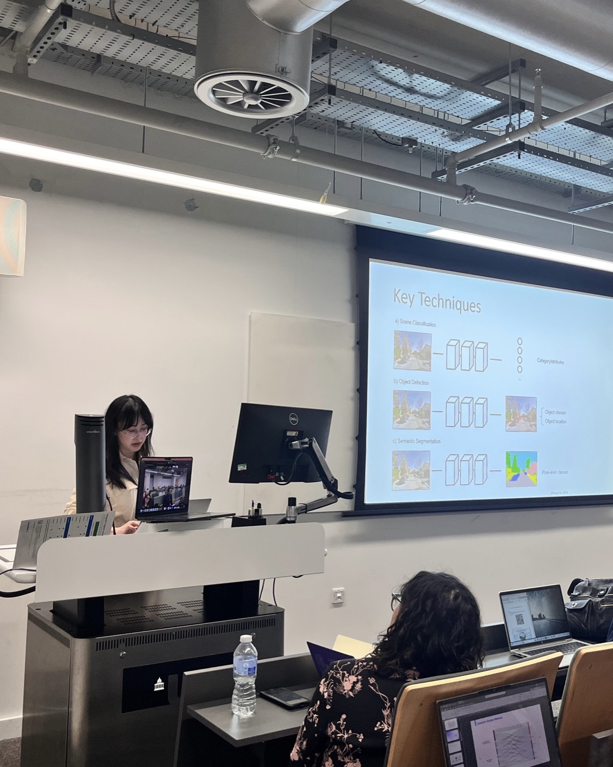
Seminar facilitation and teaching around computer vision, spatial analysis, urban perception, and governance evidence.
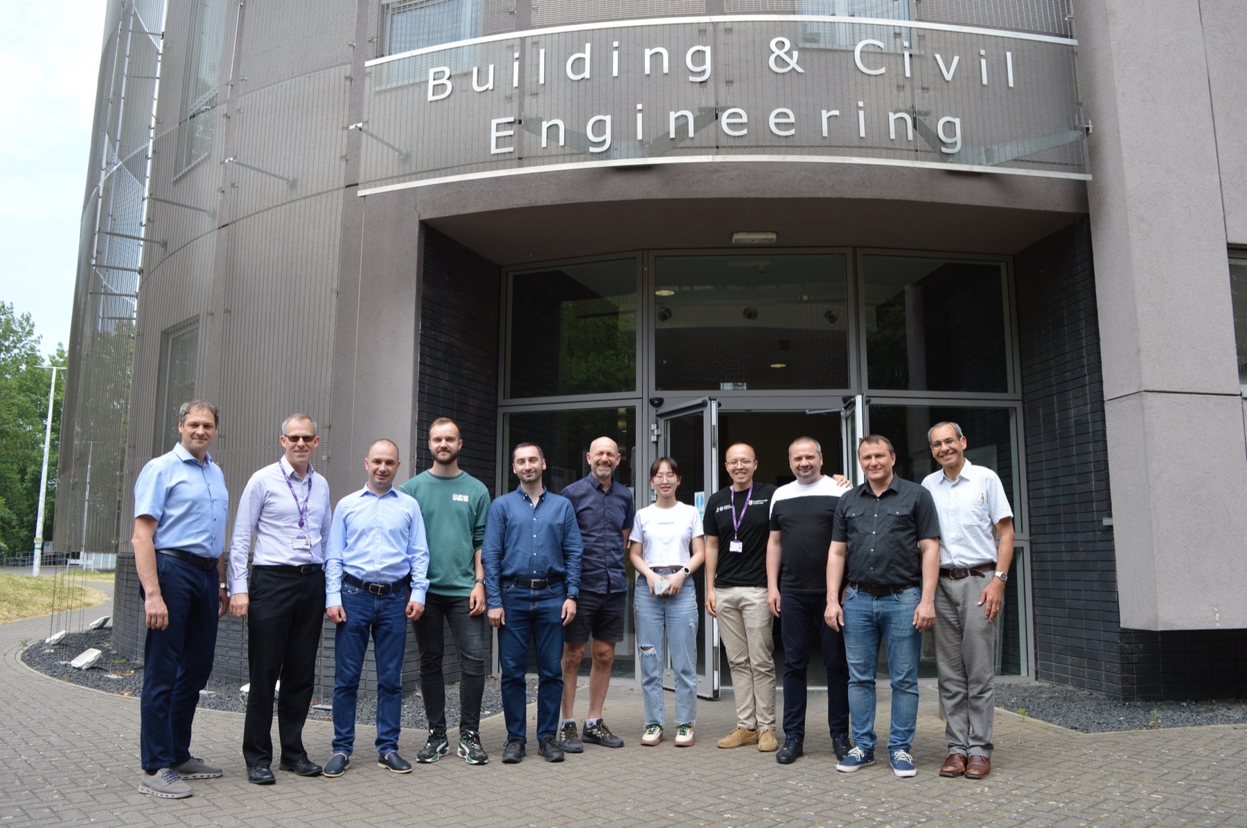
Research assistant work supporting interdisciplinary collaboration and digital urban resilience projects.
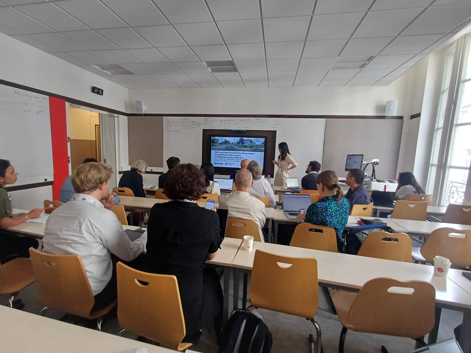
Academic presentation on perception-aware accessibility as evidence for more equitable urban decisions.
Publications & Academic Work
Tong Chen, Asya Natapov & Taimaz Larimian. Geography and Sustainability (2026), Article 100528.
系统梳理 15 分钟城市步行可达性的测量方法与可感知维度,为服务公平、居民体验和循证城市政策建立概念与方法基础。
Reviews how pedestrian accessibility is measured and perceived in 15-minute cities, providing a foundation for service equity, lived experience, and evidence-informed urban policy.
连续三年承担教学助理与课程支持工作,参与《高级城市规划理论》《QGIS 软件实践》《MATLAB 编程技巧》等课程备课、课件制作、课堂组织、软件演示、技术答疑,并负责部分专题内容的独立讲授。
Three years of teaching assistance and course delivery support for Advanced Urban Planning Theory, QGIS practical sessions, and MATLAB programming, including lesson preparation, slide development, classroom coordination, software demonstrations, technical troubleshooting, and independent delivery of selected teaching sessions.
持续参与本科与硕士研究指导,协助学生推进研究设计、数据分析、技术实现与可视化表达,支持跨学科研究协作。
Supported undergraduate and MSc research supervision across research design, data analysis, technical implementation, and visual communication.
参与 AESOP、CUPUM、Space Syntax Symposium、RGS-IBG 等国际会议展示与合作研究沟通,负责议程协调、材料整理、评审跟进与跨文化沟通。
Contributed to international conference presentations and collaborative research communication across AESOP, CUPUM, Space Syntax Symposium, and RGS-IBG, including agenda coordination, material preparation, review follow-up, and cross-cultural communication.
Contact
欢迎就城市治理、公共政策评估、城市感知分析及韧性与应急管理研究合作联系我。
Get in touch
Open to research collaborations on data-informed governance, public policy evaluation, urban resilience, and emergency management.
